Monache Meadows Overview
This past 4th of July was the 250th anniversary of America, and my inner Teddy Roosevelt wanted to enjoy the birthday of America out in nature with my family away from the crowds. We were originally thinking Coyote Flatts because we have been up there before, but decided to look for another place slightly closer to San Diego.
This was our first ever trip to Monache Meadows and I know it will not be out last! It was an absolutely beautiful and peaceful high meadow in the southern Sierra Nevada Mountains and the perfect place to relax with my family!
Skipping out on the fireworks show for 4th of July weekend was the best decision we made. We ended up being treated to a more natural light show from nature as I got to capture my firs Northern Lights, but more on that later ;-)
[!TIP] Dial In Your Rig's Loadout with Luggrly. Overlanding requires a lot of gear, but remembering which storage bin holds your camp stove connector shouldn't be the hardest part of the trail. Luggrly is a visual packing app that replaces messy checklists by letting you catalog your gear with photos in a "Digital Closet". The real game-changer for overlanders is its "Container-Based Packing" feature, which allows you to assign specific items to the exact places they live in your vehicle—whether that is your roof box, truck bed drawers, or a specific Pelican case. After you get home, the app's "Post-Trip Shakedown" tool helps you review what you actually used, making it easy to shed unnecessary vehicle weight and ditch the "just-in-case" clutter before your next run. Download on iOS or Android today!
Monache Meadow Trail Map
If you are planning a trip to Monache Meadow I would check out the short post here by John Dvorak who writes for Outdeezy. He has a fantastic aerial view of Monache Meadow and also made a great Google Map that I used for my initial planning. The Google map had a lot of good details on the campsites, but unfortunately hard to get coordinates from the Google map he made, so I transcribed some of it over to Caltopo map that you can download and view here for the actual coordinates.
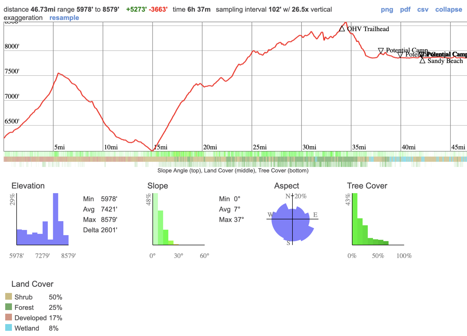
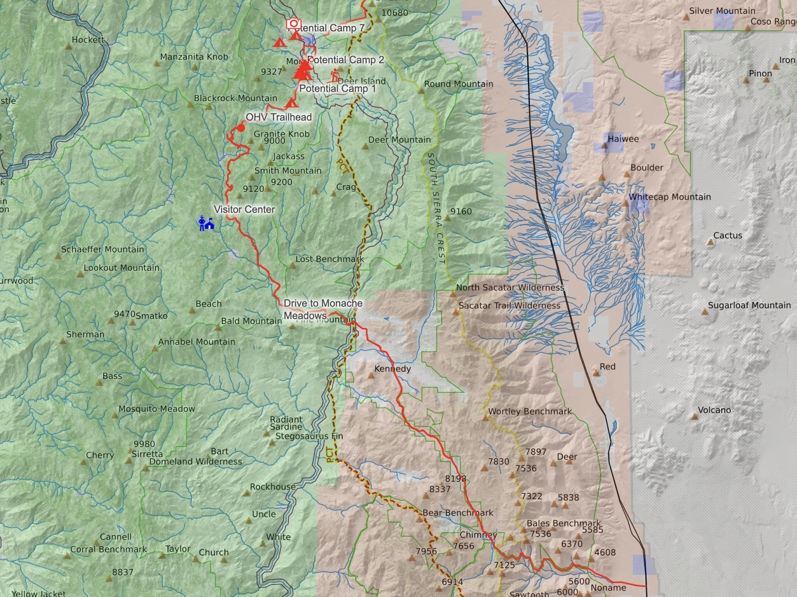
We started the drive up from 9 Mile Canyon Road (Google Map Link) just off the 395. From here it was roughly a 50 mile drive up to Monache Meadows. A good portion of the drive is off-roading with the route that we took, so its slow driving but a lot of fun. Here is the terrain profile and map of our drive up with a short lap around the meadow once we got up there:
Monache Meadows Trip Report
Driving up from San Diego with a 16 month old toddler, we decided to break the drive up a little. We also had a brand new tent that we were testing out. Long story short is we didnt want to drive up the trail as the sun was setting or attempt to pitch a new tent in the dark, so we decided to stop at a hotel closer to the trailhead. We ended up stopping at the Holiday Inn Express & Suites Ridgecrest which was fantastic. The included breakfast was clutch, so we didn’t have to make an extra stop in the morning. Anyone with a little kiddo knows each stop compounds the time on a road trip.
Once we turned off the 395 and headed up 9 Mile Canyon Road, the drive got steep and curvy with long switchbacks. The fun part of this drive is starting off in the desert and seeing the terrain change along the way.
[!WARNING] Apologies for the quality of the driving shots, they were all from out Insta360 X5 (Amazon Affiliate). Pictures get much better once I break out my real Sony Camera later in the article.
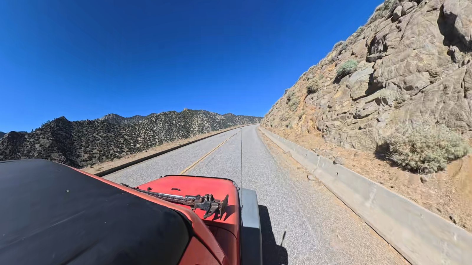
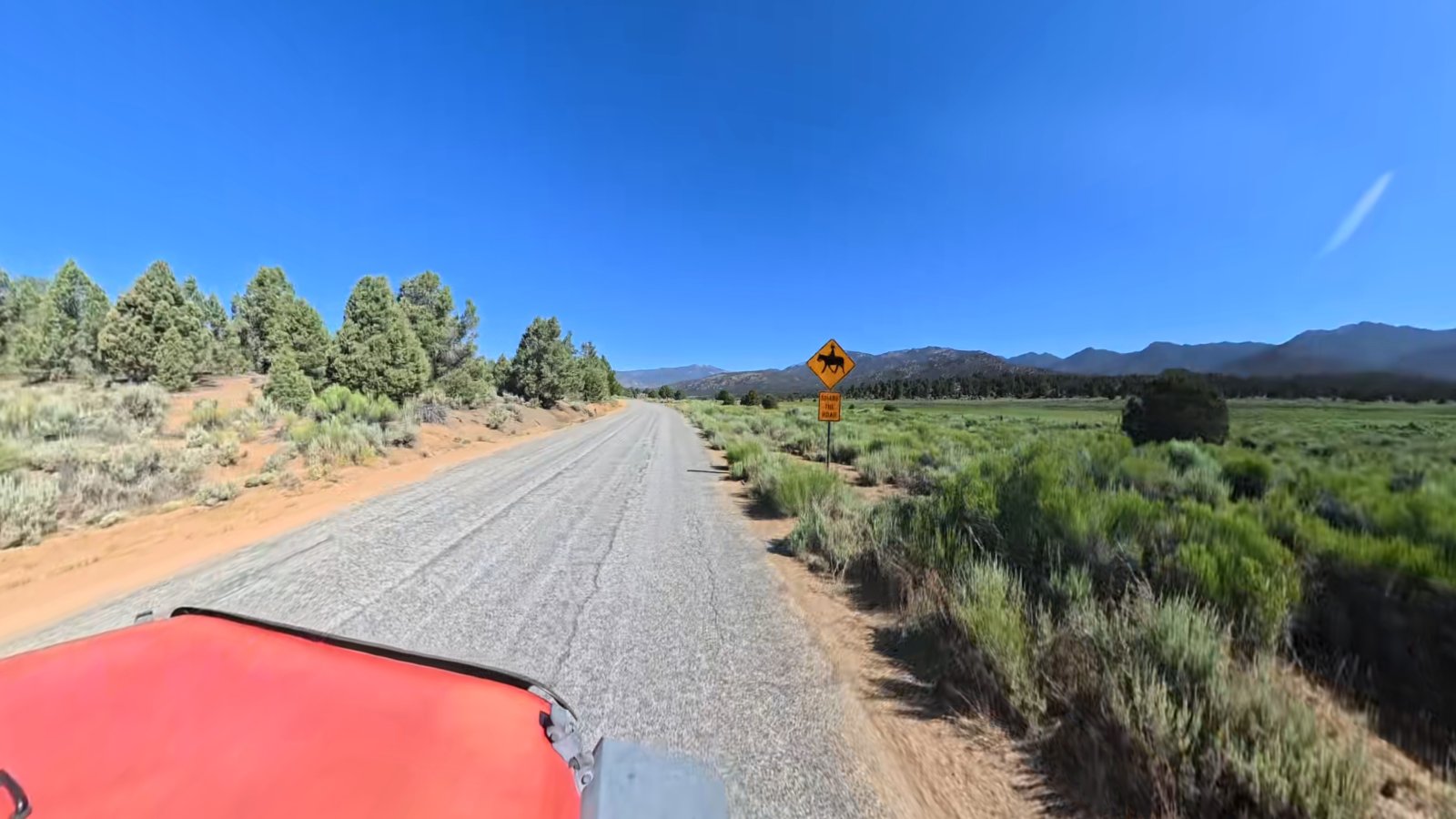
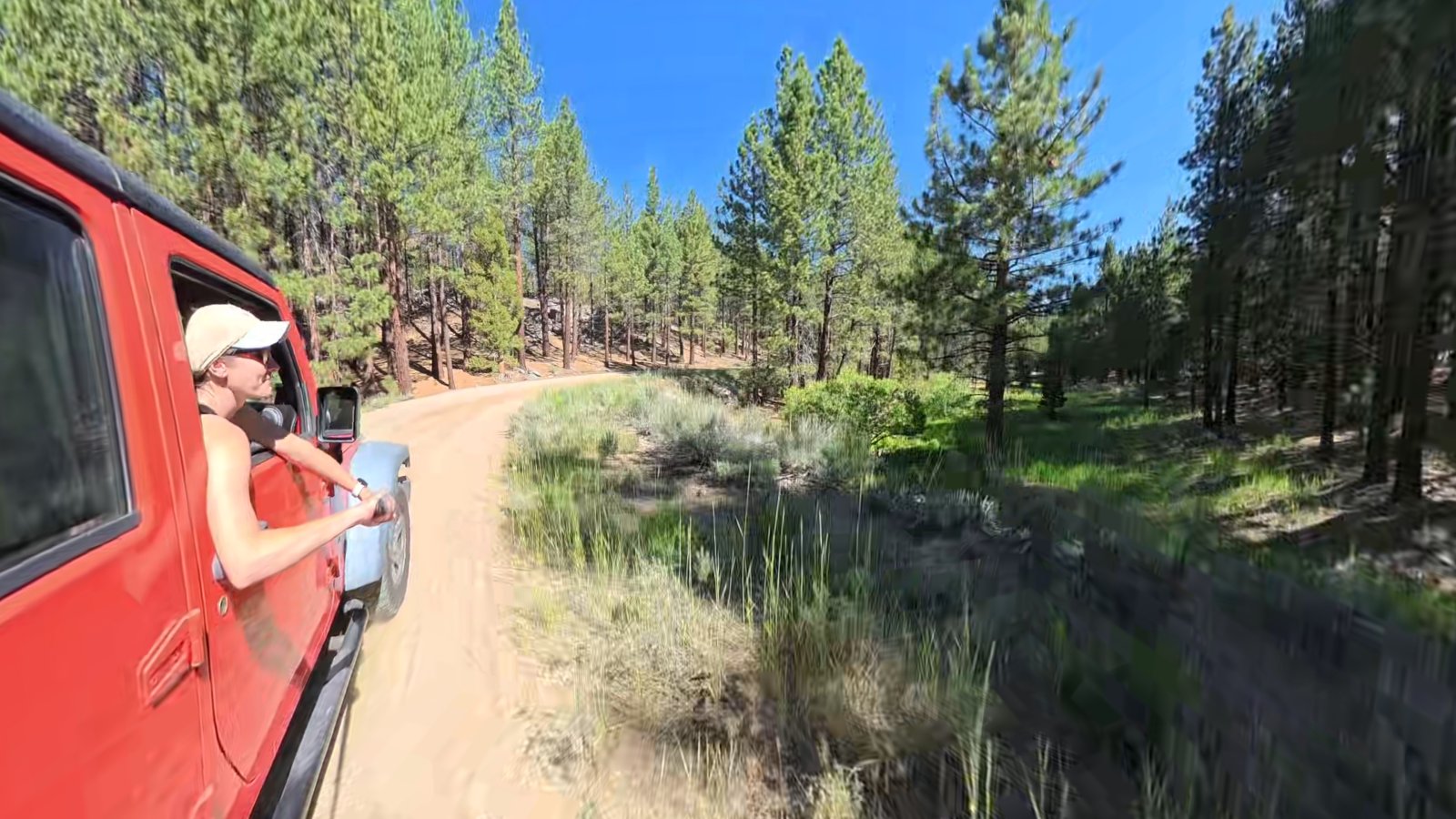
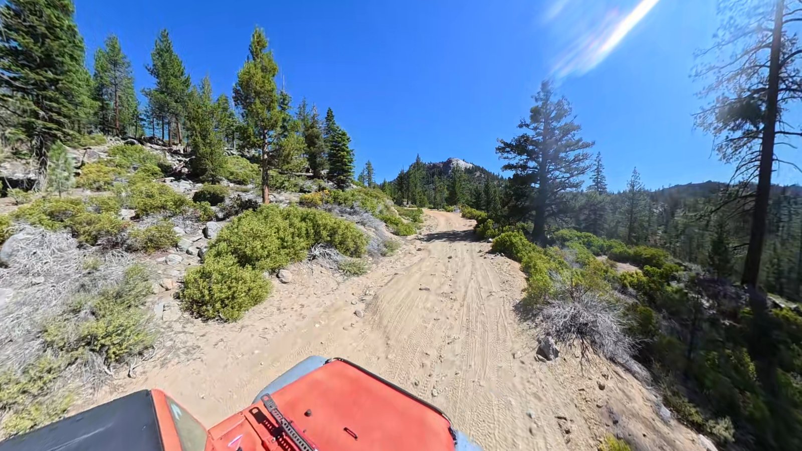
As you slowly wind your way up in altitude and get closer and closer to Monache Meadows the desert views and paved roads switch out for forest and more technical dirt roads. On the way up we didn’t encounter any obstacles that we we couldn’t handle fairly easily in my stock Jeep Wrangler Unlimited Sport. With that said conditions are always constantly changing on roads like this and after a rain storm I am sure it could get a bit more dicey.
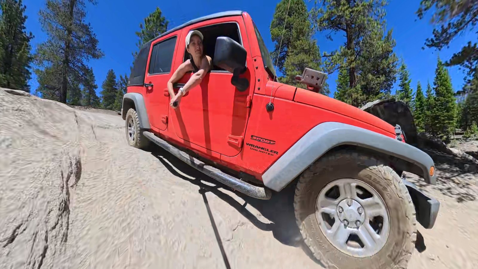
After a couple hours of driving we finally made it to Monache Meadows, and it was well worth the drive! It has been a couple of years since we have taken the Jeep on a true off road adventure. Banging around on a road in the middle of nowhere probably isn’t the best activity when your wife is pregnant, or when you have a new born so we waited a bit. With my son being 16 months and having great head control, now seemed like a great opportunity to give it a try.
I wasn’t sure what to expect off-roading with our toddler. He has been in some long drive before, we drove up to Yosemite when he was about 2 months old (Read that article here), so I wasn’t worried about that. I was more worried if he was going to hate the bumpy road. To my surprise he slept pretty much the entire time… it was pretty bumpy so I was a bit shocked and it looks like we will have more overlanding trips in our future together!
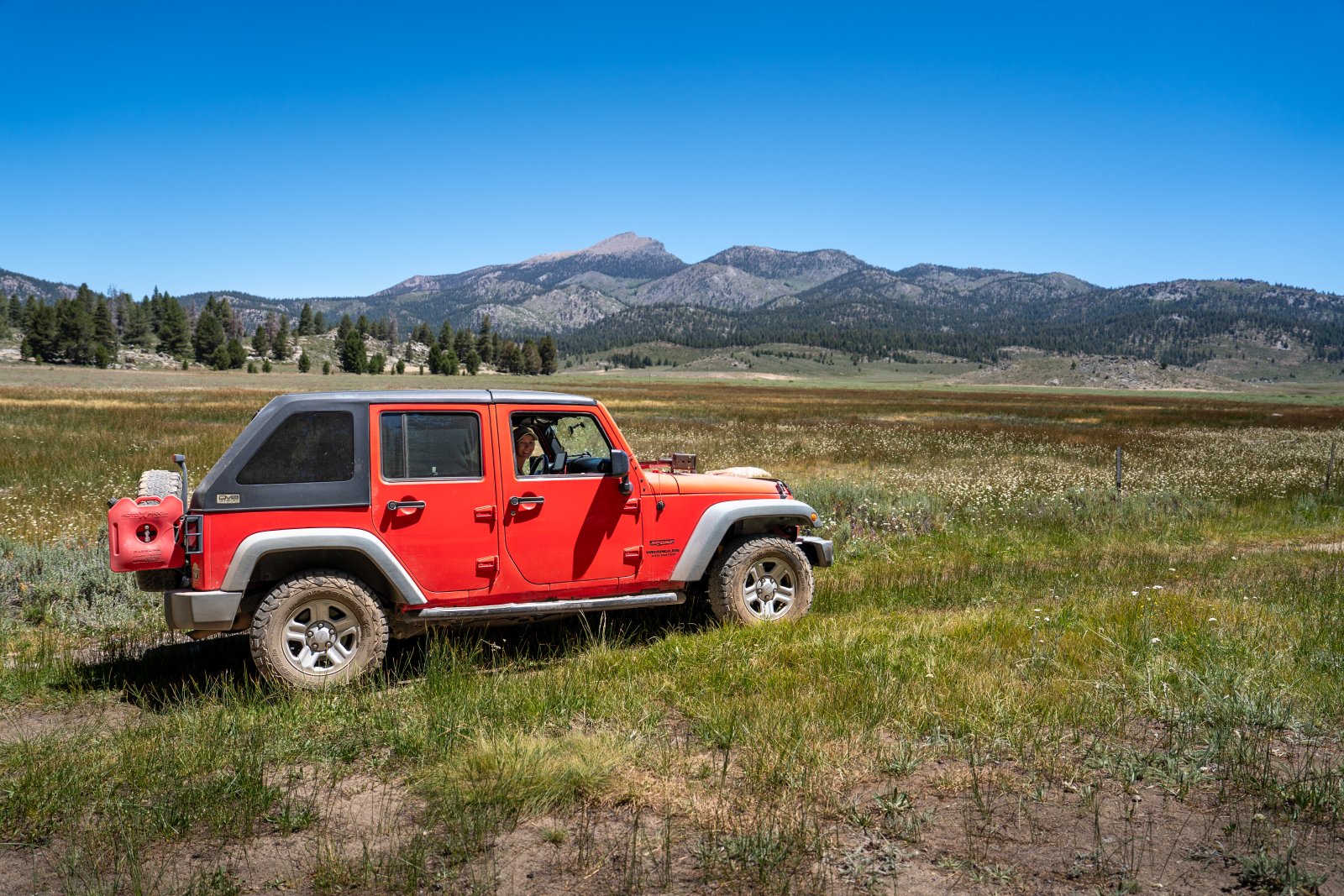
When we first got up to Monache Meadows we just wanted to explore, but we also wanted to claim our campsite before it got too crowded, since it was 4th of July weekend. We pitched camp in a spot with a great view of the meadow and a clear view of Olancha Peak. I figured this would be great for some astrophotography that I wanted to do later that night.
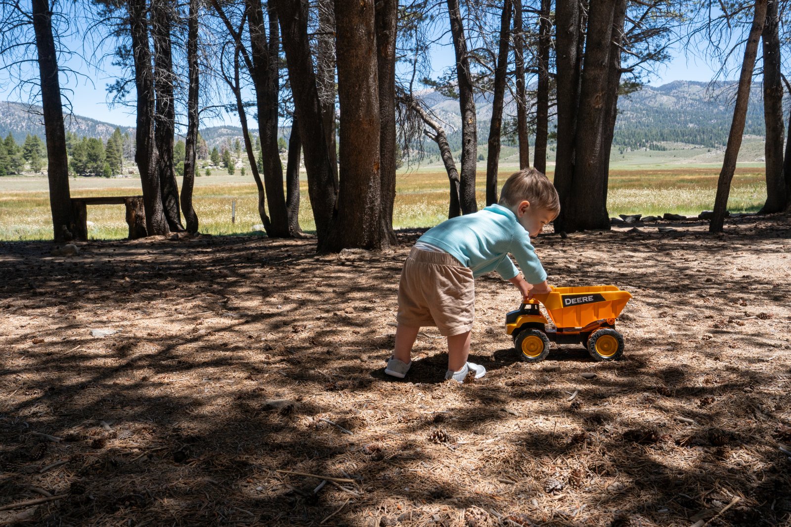
The campsite was also very large and shaded, which was nice during the hot day, to help our little one stay out of the sun a bit while he played around camp in the dirt. Which honestly watching him play around camp in the dirt was awesome!
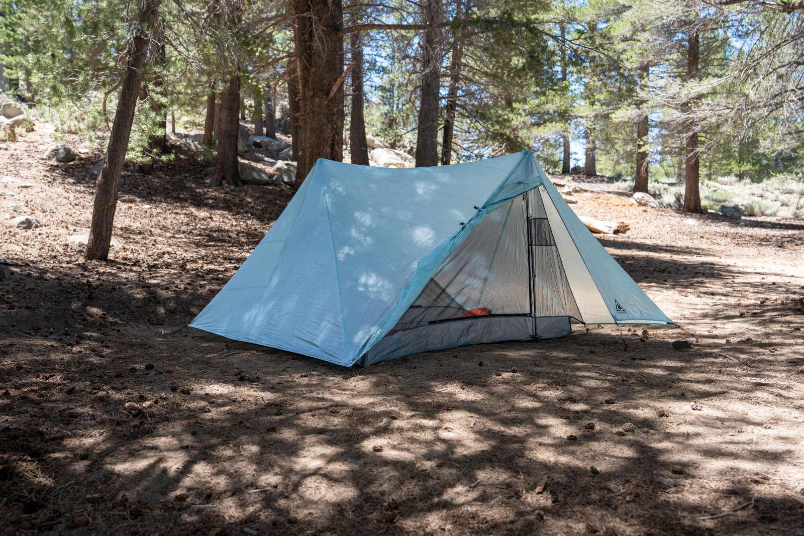
After pitching our tent and and having a bite to eat we decided to go explore Monache Meadow a little bit before relaxing at camp for the rest of the evening. I really wanted to go check out the South Fork Kern River since I heard there was a good sandy beach you could explore. Our little one loves our pool at our apartment and I figured he would love the river since it was pretty hot out this weekend.
We didn’t drive directly to the sandy beach, although we could see it from our Jeep when we got close. We did a clockwise loop around the Meadow to get the lay of the land and scope out some of the trails we wanted to explore tomorrow during the day.
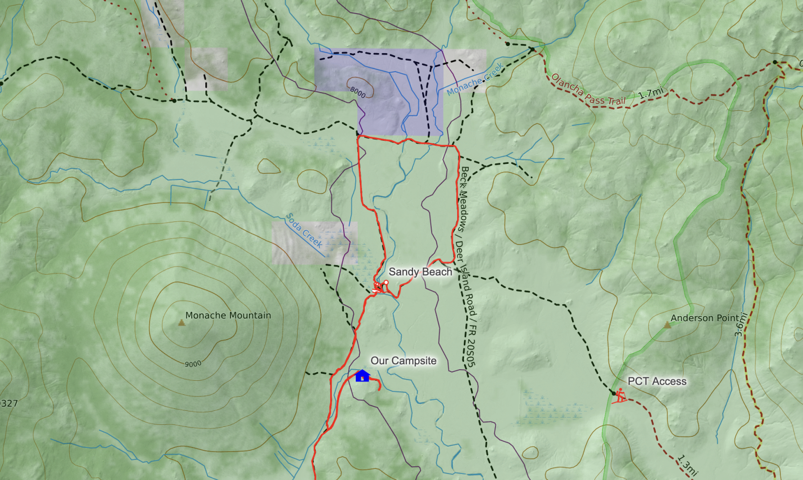
The short loop around the main part of the meadows was a fun short drive with two water crossings over the South Fork of the Kern River. The first one was at the northern part of the loop with the second next to the sandy beach we were planning to hang out at.
While starting our drive, we noticed a super low flying plane over the meadow. I thought it was just someone joy riding for the weekend, but as we drove north on the western side of our loop, we saw a sign that said there was an active runway. Looks like if you don’t want to bounce around in a Jeep Wrangler for two hours you can fly here. Over the next day or two we enjoyed seeing the planes coming in for landings, my kiddo loved pointing and waiving at each one!
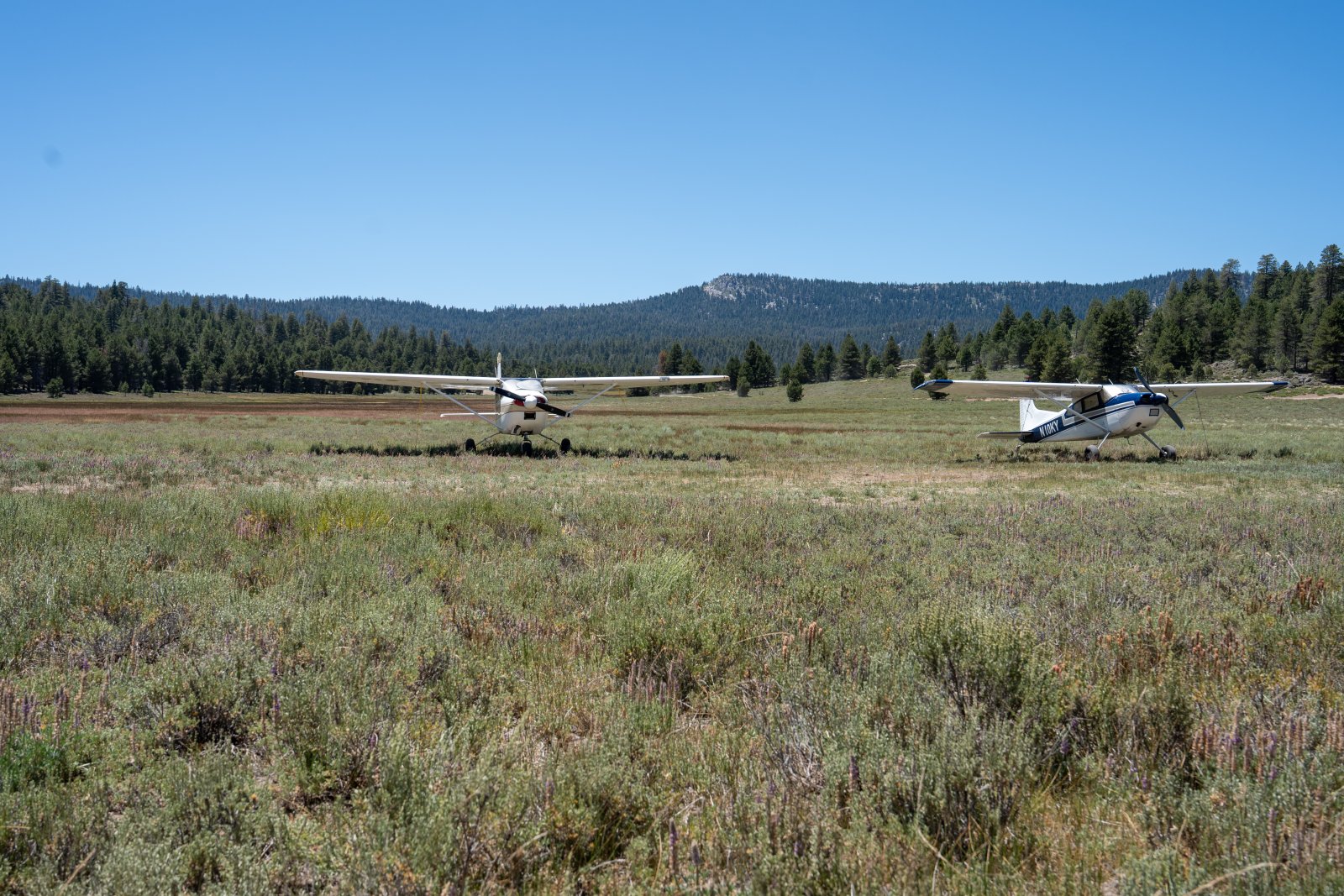
After checking out the cool airplanes we headed east for our first water crossing. Then followed the trail back south then west to complete a small loop of Monache Meadows. Our loop ended at the sandy beach, which was a fantastic place to cool off for the day.
Our campsite I mentioned earlier was not within a short walk to the river, but there were a bunch of sites that were within walking distance. Those sites were all packed and I am very glad we didn’t stay there. With the river a short drive from our spot it was nice to role in to enjoy then go back to our peaceful camping spot later in the day.
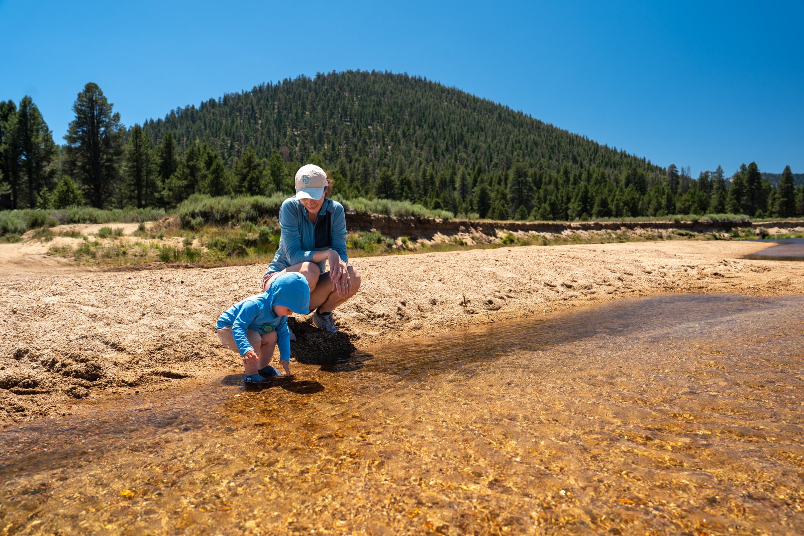
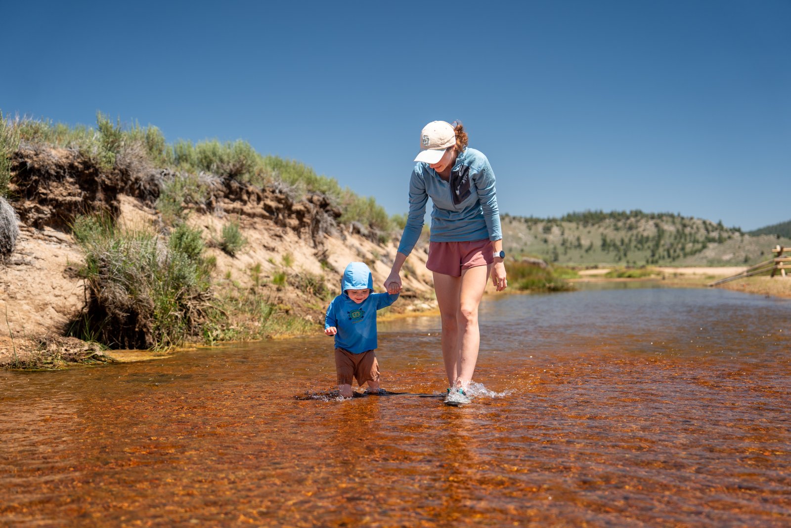
The water on our first day was surprisingly warm. Having spent a lot of time hiking in the Sierra Nevada Mountains with lots of river crossing I was surprised. It didn’t feel like a hot spring, but I was expecting it to feel a lot more cold. Either way it was refreshing! I did notice it cooled down a little on our second day.
While we were there the current wasn’t very strong and we went safe playing in it with our little one. Just because it was safe conditions while we were there, doesn’t me its always safe so be cautious. We saw a couple of families fishing, and we could see the fish swimming in the deeper sections but we didn’t see anyone actually catch anything while we were there.
We mostly had fun, soaking our feet, skipping stones and just enjoying the peaceful and calm views and sounds.
After our time in the river we headed back to camp and just relaxed, playing soccer in the forest with my little ones mini soccer ball, enjoyed a picnic dinner and just wanted to cows roam across the open meadow. We were surprised how close the herd of cows came to our camp, and even closer in the morning. We never felt like we were in danger but it was really fun for the little guy to watch. He loved waving at the cows as they came by!
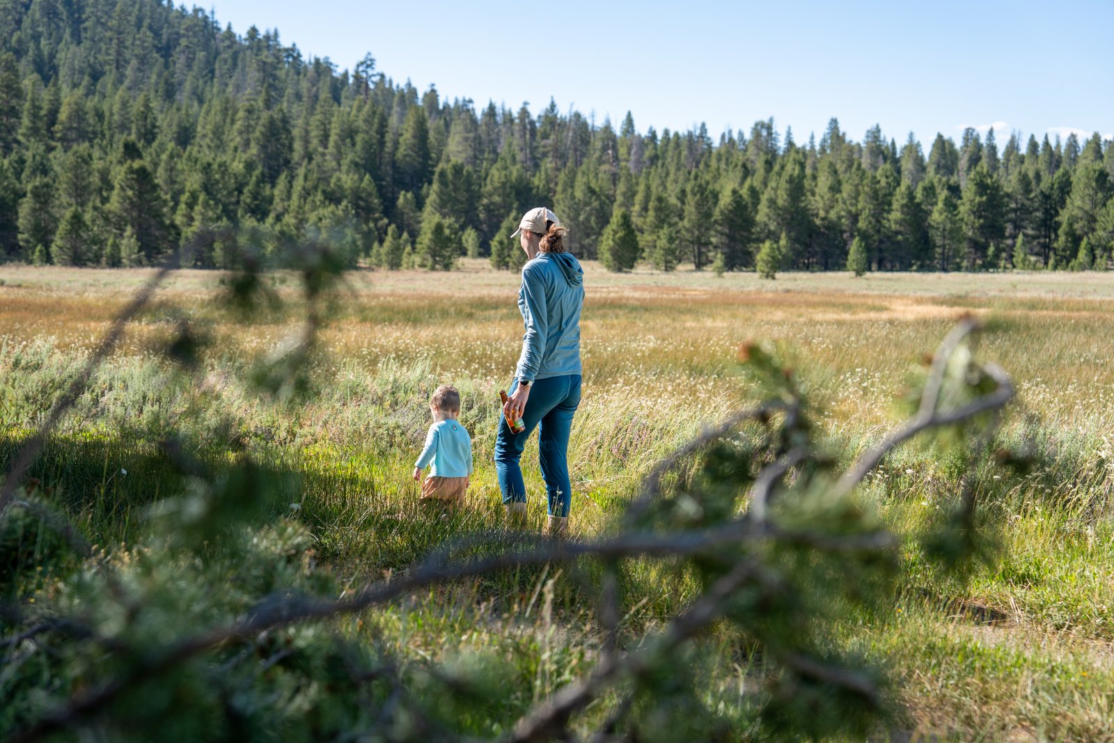
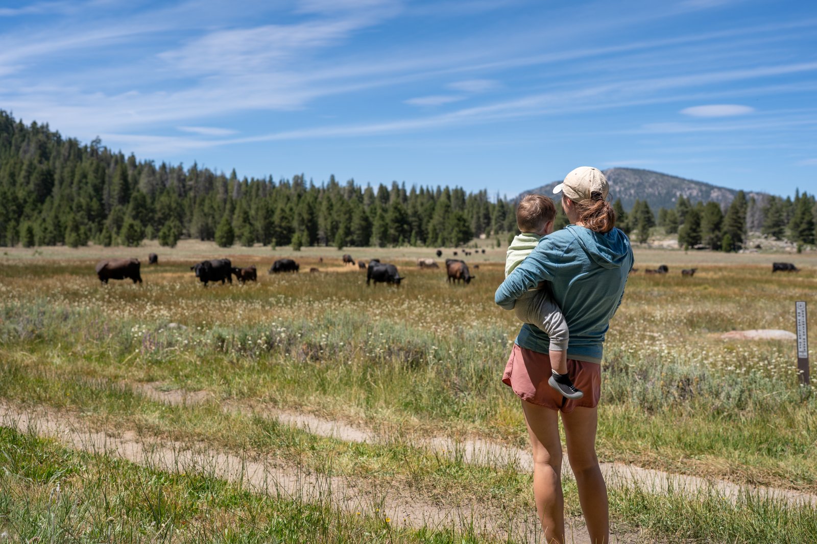
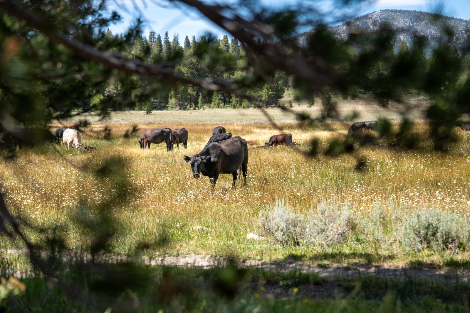
We eventually went to bed fairly early. The little guy has an earlyish bed time and we didn’t want to leave him in the tent alone so, it became all of our bedtime. Whenever we go out camping I love doing some astrophotography so I planned to leave the tent in the middle of the night anyway so an early bedtime was pretty welcome.
I did some research before we left and unfortunately had a Waning Gibbous moon that was over 88% luminous. Basically that just means the moon was almost a full moon and was very bright. Between sunset and moon rise I had around an hour and half of shooting time which isn’t a lot.
While trying to sleep I ended up waking up a lot, I was nervous and didn’t want to miss my short shooting window. Eventually it was time to shoot and I made my way in the pitch dark to the edge of the meadow. The stars were super bright and it was fantastic just looking up with my naked eye.
My initial plan was to shoot Olancha Peak with the meadow as a bit of a foreground and get the stars over the peak. Olancha peak kind of has a cool shape to it so I figured it was the best subject to shoot for my astrophotography.
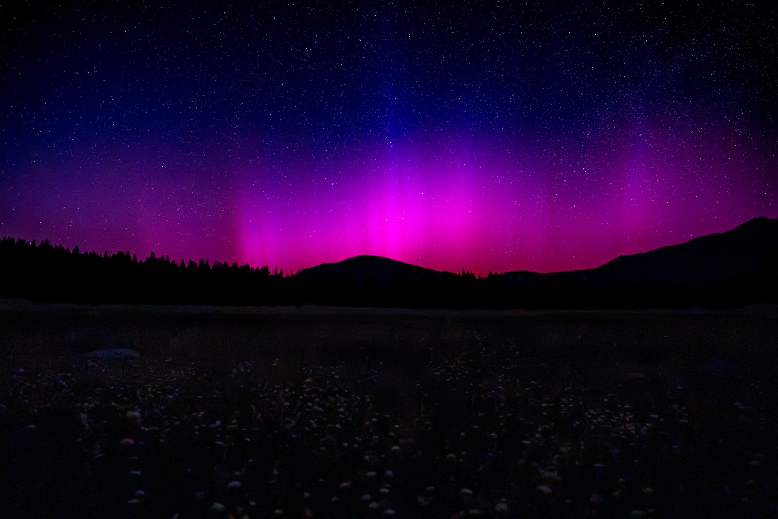
When I started shooting, I noticed the left edge of my frame was very red and purple. I was a bit frustrated at first. My Sony A9 is fairly old and I first thought the sensor was going. I already have replaced the shutter and the viewfinder so I figured it was the piece of the camera that was going. Then something click in my head and I just rotated the camera on my tripod a little to the left to see if it was maybe something else…. to my surprise it was the Northern Lights!
When we eventually got home from this trip I did some research. Its pretty rare to see the Northern lights this far south. From this article and Forbes:
Heading for Earth are multiple coronal mass ejections, clouds of magnetic fields and charged particles from the sun that stream into space at up to 1,900 miles (3,000 kilometers) per second. A G1, G2 or even G3-class geomagnetic storm could result, causing aurora to be seen on the northern horizon from U.S
Probably a 1 in a million shot that I happened to be camping with my family at over 7k ft in elevation with almost no light pollution when a G3 storm hit earth. If you want to learn more about Geomagnetic Storms, check out this great article on NOAA Space Weather here. The G3 Storm that hit the night of July 3rd is described as Strong:
Power systems: Voltage corrections may be required, false alarms triggered on some protection devices.
Spacecraft operations: Surface charging may occur on satellite components, drag may increase on low-Earth-orbit satellites, and corrections may be needed for orientation problems.
Other systems: Intermittent satellite navigation and low-frequency radio navigation problems may occur, HF radio may be intermittent, and aurora has been seen as low as Illinois and Oregon (typically 50° geomagnetic lat.).
For more live Space Weather data check out this link here.
Another interesting detail with my shot above is that its mostly reds and purples. We don’t see any of the fun greens people see when observing the northern lights at higher latitudes. This is due to the curvature of the earth.
Green coloring is at about 60-150 miles in altitude, red is above 150 miles in altitude. Since I was so far south the curvature of the earth blocked the lower green coloring and I only saw the red and purple coloring in my photograph.
I am by far no expert in space photography or physics, so I would love to hear more or be corrected if I miss spoke here. Feel free to add a comment at the end of the blog post.
Overall I was pretty much in disbelief of what I captured. I really didn’t fully appreciate it until I got home and was able to view the image on a larger monitor and not just in the view finder of my camera. I can’t wait to hand this one up on a wall at home!
It was pretty hard to sleep that night, knowing what I captured… it was also pretty cold out.
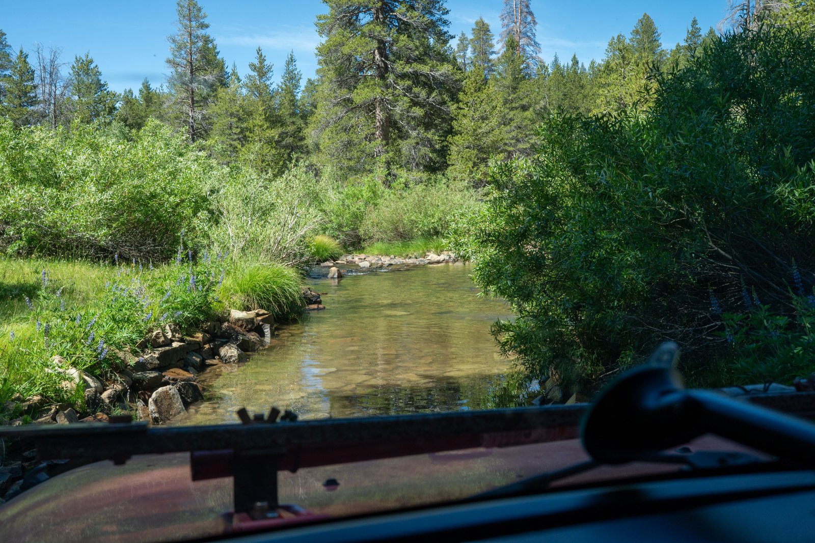
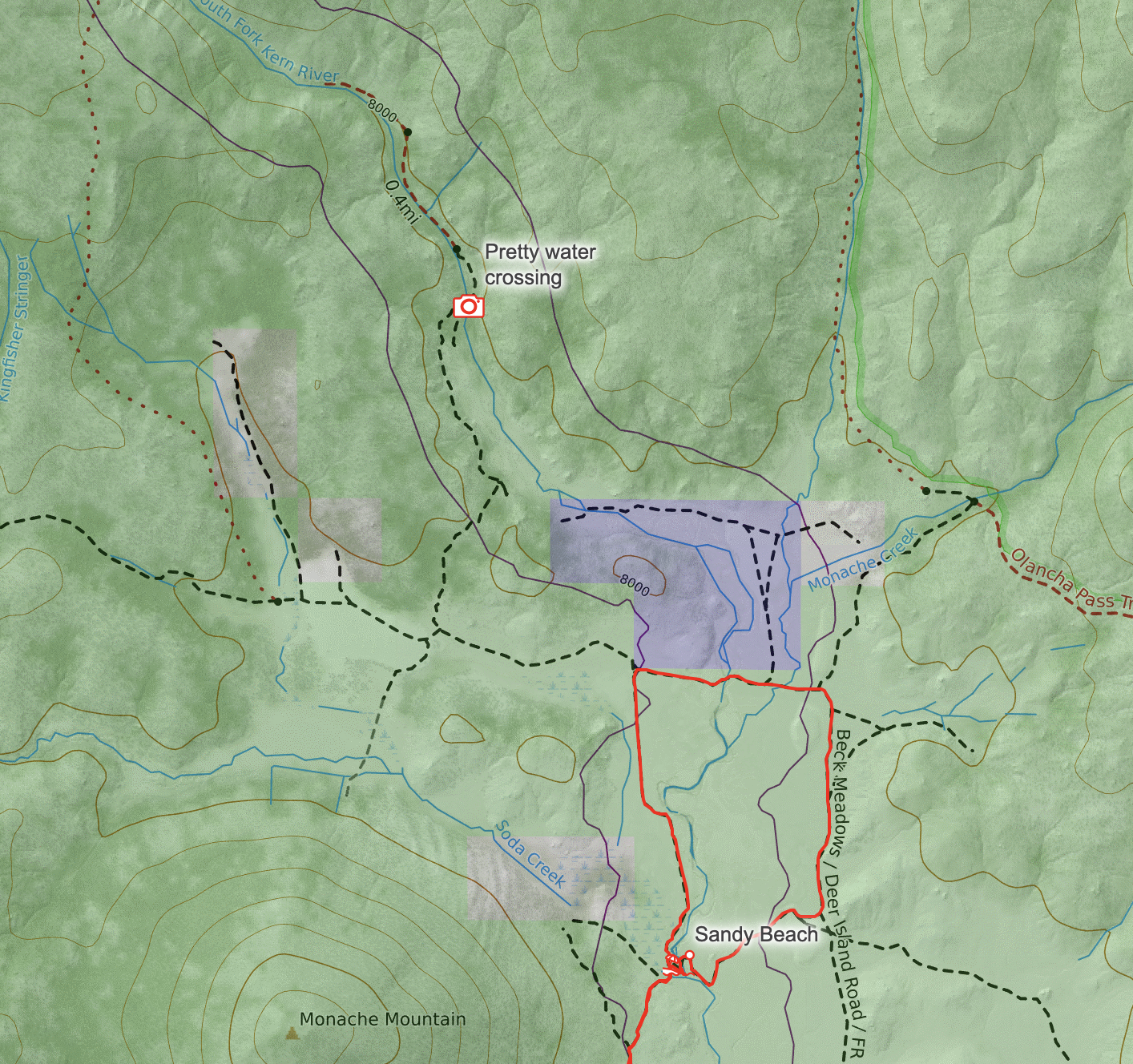
In the morning we explored more trails driving around. I wanted to find the location in the above photo because it looked like a fun drive and it was! Unfortunately once I crossed this fun river crossing it was a literal zoo of people. Looks like this area was the most popular camping spot, and everyone’s trucks and Jeeps were basically on top of each other. I quickly turned around and was happy to be back across the river heading back to the wide open sections of Monache Meadows. But the drive through the river was fun, so glad we checked it out!
This section is labeled Pretty Water Crossing on my Caltopo Map:
After a fun weekend exploring Monache Meadows, it was time to head back. We drove back down the same trail we used to get up. I think there may have been a route once out of Monache Meadows to take more paved roads back, but we felt more comfortable going back the exact way we came.
We did have one slightly interesting encounter on the way back home. We ran into some guy driving a Tesla Model Y up. He asked us if the trail got easier the further up and we told him that it did not, and he decided to turn around. When we first met him I thought he was stuck and was prepping to help pull him out, but glad he wasn’t stuck and made the smart decision to turn around.
This was our first trip up to Monache Meadows and will definitely not be our last! I can’t wait to come back!
Comments